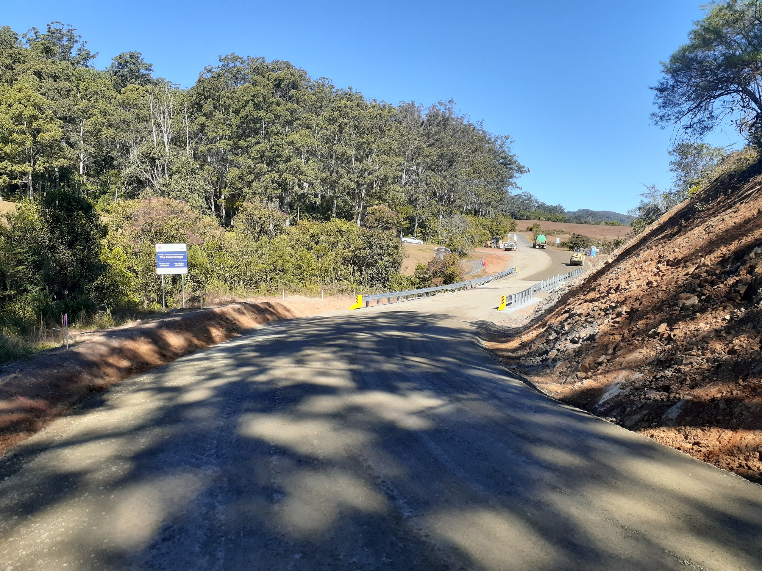
The bridge crossing is now open and work on the new concrete bridge is complete.
The new bridge was funded through the NSW State Government’s Fixing Country Bridges Program and is part of an ongoing focus to address ageing timber bridges across the MidCoast.
We thank the community for the patience shown during this important upgrade.

Former bridge stats
New bridge stats
Project details
Location of the project
Timeline
-
Timeline item 1 - complete
31 January
Work starts with partial road closure
-
Timeline item 2 - complete
6 February
Full road closure
-
Timeline item 3 - complete
11 May
Road reopens
-
Timeline item 4 - complete
End May/early June
Bridge completed
Frequently asked questions
- As part of our bridge maintenance program we regularly undertake detailed inspections of all our bridges.
- For aged timber bridges, we also undertake test boring of the timber to determine what proportion of the timber is still capable of carrying the load. This is done by drilling a small hole into each of the main parts of the structure and measuring the depth where the drill meets resistance from the part of the timber that is still in good condition. This is generally every couple of years depending upon the change between visual inspections
- In 2016 a dynamic load test of the existing bridge identified several of the piles have deteriorated substantially and were no longer capable of carrying load. It also showed the deck is starting to twist under load. To rectify the situation, strengthening of the abutment and additional steel beams would be required. Whilst this would extend the life of the existing bridge it would not eliminate load restrictions.
The existing bridge has an 18-tonne load limit in place due to the deterioration of the existing structure. This is due to be reviewed.
- The new bridge is wider than the existing bridge to allow for two cars to comfortably pass. The old bridge is too wide to be a single-lane bridge but not wide enough for two cars to effectively pass.
- The land to the east of the existing bridge has a steep batter down to a permanent waterbody. Long term access over this land for a road is particularly complicated due to current land issues.
- The land to the west is dominated by a hill on the northern side of the bridge.The design already involves excavating back into this hill to provide a smooth road alignment. The intention is to try to balance the impacts of the earthworks whilst making the most use of the current road formation.
- To build the bridge where the existing bridge is, a detour is required.
- We will grade the detour route and add gravel in some areas so that the available road width is maximised.
- Additional guideposts and roadside slashing will be done to help delineate the roads and improve sight distances.
- The detour will add around 15 minutes to the travel time for through traffic
- Bus routes will be altered to accommodate the bridgeworks. For all bus information please contact Wingham Buslines on info@winghambuslines.com.au or phone (02) 6553 4310.
- School will have pedestrian access through the bridge worksite in the morning and afternoon.
- General pedestrian access through the worksite will not be available.
- Waste collection and other service vehicles will use the detour route.
The last traffic count in 2020 showed the peak traffic at 18-24 vehicles per hour (or a vehicle every 3 minutes). The daily traffic is 150-200 vehicles, with 81% being light vehicles and the remainder being small trucks. Eighty-eight percent of the traffic is within 60km/hr almost all traffic is less than 65km/hr.
Who's listening?


